Capital
Zagreb, the cultural, scientific, economic and administrative centre of the country. The City of Zagreb has 767,131 inhabitants (2021).


From the plains of the Pannonian lowlands across the high Dinaric Alps to one of the most indented coastlines in the world: a small country with a remarkably varied landscape.
Croatia's position gives it two climates: a moist continental climate in the interior and a sunny Mediterranean climate along the coast. With a land area of around 56,600 km² it ranks among Europe's medium-sized countries, but its coastline is anything but average.
The Adriatic coast was formed when the sea level rose by almost 100 metres. Today the fertile Pannonian Plain supports agriculture, while the sea has shaped a long maritime tradition of fishing, shipbuilding and, above all, tourism.
The country is divided into 21 counties, including the City of Zagreb, and borders Slovenia and Hungary to the north, Serbia and Bosnia and Herzegovina to the east, Montenegro to the south, and Italy across the sea to the west.
Zagreb, the cultural, scientific, economic and administrative centre of the country. The City of Zagreb has 767,131 inhabitants (2021).
3,871,833 (2021 census). Croats make up 91.6% of the population; Serbs, at 3.2%, are the largest minority.
Croatian is the official language. In tourist areas English is widely spoken, and German and Italian are common too.
Euro (€) since 1 January 2023. Money can be exchanged at banks, exchange offices, post offices, travel agencies and hotels.
Croatia joined the Schengen Area in 2023, so there are no routine border checks when arriving from other Schengen countries.
A parliamentary democracy, with power divided into legislative, executive and judicial branches.
Predominantly Roman Catholic, with Orthodox and Muslim communities as the largest minorities.
Inland: January 0 to 2 °C, August 19 to 23 °C. Coast: January 6 to 11 °C, August 21 to 27 °C.
Summer sea 22 to 27 °C, winter 5 to 15 °C. Average depth 173 m; the deepest point, 1,233 m, lies in the southern Adriatic.
Eight parks, eight completely different worlds, from turquoise lakes to wild limestone peaks.
Sixteen turquoise lakes stepping down through beech forests. A UNESCO World Heritage site.
Thundering waterfalls and wooden walkways over the river.
Bare stone islands scattered across the open Adriatic.
A green island with two saltwater lakes and a monastery in the middle.
Dinosaur footprints and ancient olive trees.
Vertical limestone canyons, loved by climbers.
Deep mountain forests, home of the lynx.
The wild limestone peaks of Croatia's largest mountain range.
The historic region of southern Croatia stretches along the Adriatic from Tribanj in the north-west to the border with Montenegro in the south-east, with the Dinara, Kamešnica and Zavelin mountains forming its inland edge. It is made mostly of limestone and dolomite, and enjoys a true Mediterranean climate.
The name first appears in the 1st century BC, after the Delmatae, an Illyrian tribe that lived here. Natural beauty and a wealth of cultural monuments have made Dalmatia one of the best-loved holiday regions in Europe.
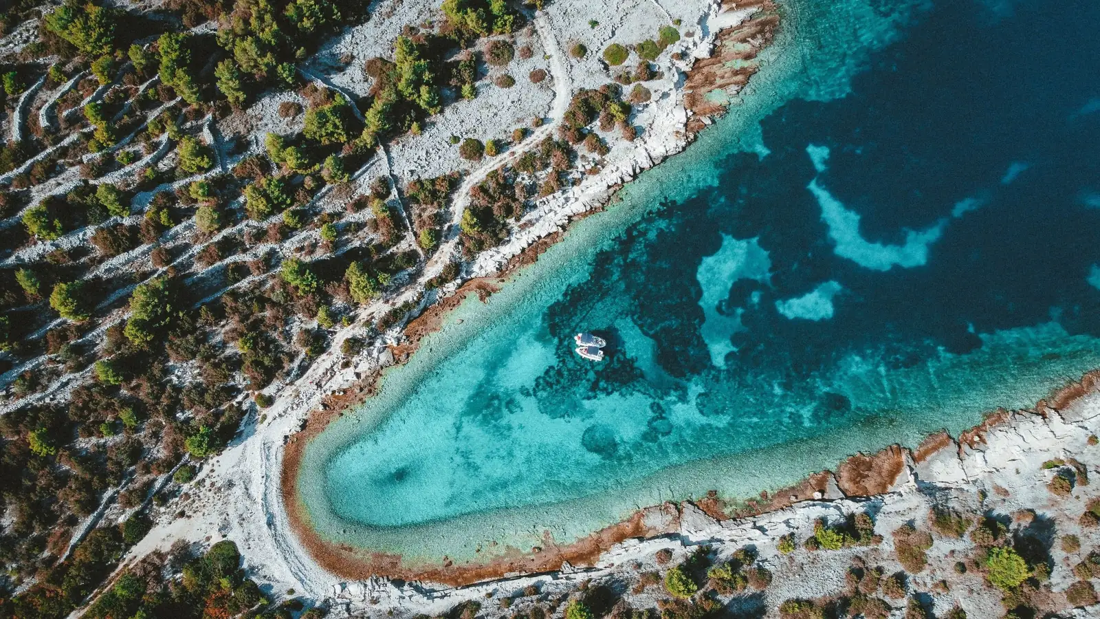 Dalmatia
To get to know this region in all its diversity, start in Diocletian's Split and work your way south.
Walk into Diocletian's Palace, climb the bell tower of St Domnius for the view, rub Grgur Ninski's toe for luck, squeeze through one of the narrowest streets in the world and try picigin on Bačvice beach.
Pine, sage and lavender on the breeze. Brač has Zlatni Rat and the famous Brač stone, Hvar its lavender fields and stone heritage, and Šolta is the island of honey.
A town-museum on a small island linked to the mainland by a bridge, remarkably well preserved. Taste Trogir pašticada and sweet rafioli.
Early August in Sinj: a centuries-old knights' tournament where riders at full gallop aim a three-metre lance at an iron ring. UNESCO intangible cultural heritage.
Home of the famous Omiš pirates, where the Cetina cut a dramatic canyon through the mountains on its way to the sea. Today it is a playground for adventure.
Canyoning in Omiš →Let the white and the blue be your inspiration: white as the stone, blue as the clear sea that bathes it.

Where the clear Cetina flows through a stone gate into the sea.
Omiš lies at the mouth of the Cetina river, south-east of Split. Its position made it easy to defend in the past, and the impressive stone gate through which the river reaches the sea is the town's geological symbol. The river also forms the only route to the hinterland along this stretch of coast, between the Jadro and Vrulja.
In the Middle Ages, piracy was an important source of income. The people of Omiš were famous pirates, helped by the town's position and their light, fast boats. Led by the Kačić princes, for two whole centuries they attacked papal galleys and the merchant ships of Venice, Dubrovnik, Split and Kotor.
Fly over the town, the river mouth and the canyon. Drag to look around and tap the thumbnails to change the view.
The pirates' lookout. From the tower you can see the whole town, the Cetina canyon, the islands of Brač, Hvar and Šolta, and the Poljica region.
About 20 minutes on foot from the town, via Baučići, on a well signposted path.
Together with Mirabela, Fortica tells the whole story of Omiš piracy. Its position at the very top of Omiška Dinara let the defenders control a large area both on land and at sea. The fortress served mainly as a shelter: if Omiš were ever surrounded, large stone rubble could be thrown down from it, destroying the town together with the enemy. Fortunately, that never happened.
The highest point of the medieval walled town, built to watch for the enemy. Four floors and a rooftop exit with a beautiful view.
From Mirabela you can see the whole old town, Punta, Priko and Duće, as well as the entire Brač Channel. The protected area of medieval Omiš runs from the chapel of St Nicholas by the Cetina, along the river to the new bridge, Fošal street and the coast to the town dock and the Trijun basin, including the town cemetery, the ramparts and the hill of Peovica. The buildings within it date from the 16th to the 19th century, from Renaissance to local 19th-century architecture.
Built by local builders, mixing Gothic, Renaissance and early Baroque features. The bell tower was completed in the 18th century.
A Latin inscription on the door records its construction. Above the richly carved stone entrance stand a statue of St Michael and a rose window. The walls carry the coats of arms of Venetian nobles and of the town of Omiš, and portraits of prominent noblemen appear in the altar paintings.
A late Renaissance church in what was the administrative heart of the commune, next to the town lodge and the clock tower. Town assemblies were held here.
It stands on the site of an older Gothic church, funded by Marko Drešković. The spacious single-nave building has a high square sanctuary, a facade of fine stone blocks topped by a bell gable with three openings, and a richly profiled late Renaissance portal with an inscription about its construction.
On the right bank of the Cetina, one of the oldest churches in the area, with early Christian stonework still in place.
First mentioned in documents in 1074, during the reign of King Slavac. Capitals, a lintel and stone window grilles survive from early Christian times. A Benedictine and later a Franciscan monastery stood beside it, and in 1750 Archbishop Pacifik Bizza of Split founded a Glagolitic seminary here, which was closed in 1879.
The best view of the Cetina canyon is from inside it. Jump, slide and swim through the gorge with guides who have been here since 2004.
Explore our toursBetween the mountains, the river and the sea, Omiš packs more outdoor adventure into one small town than most regions offer in total. From canyoning and rafting on the Cetina to hiking above the old town, it is one of the best bases in Croatia for an active holiday.
Ready for your own adventure? Start with the Cetina canyon.